Introduction
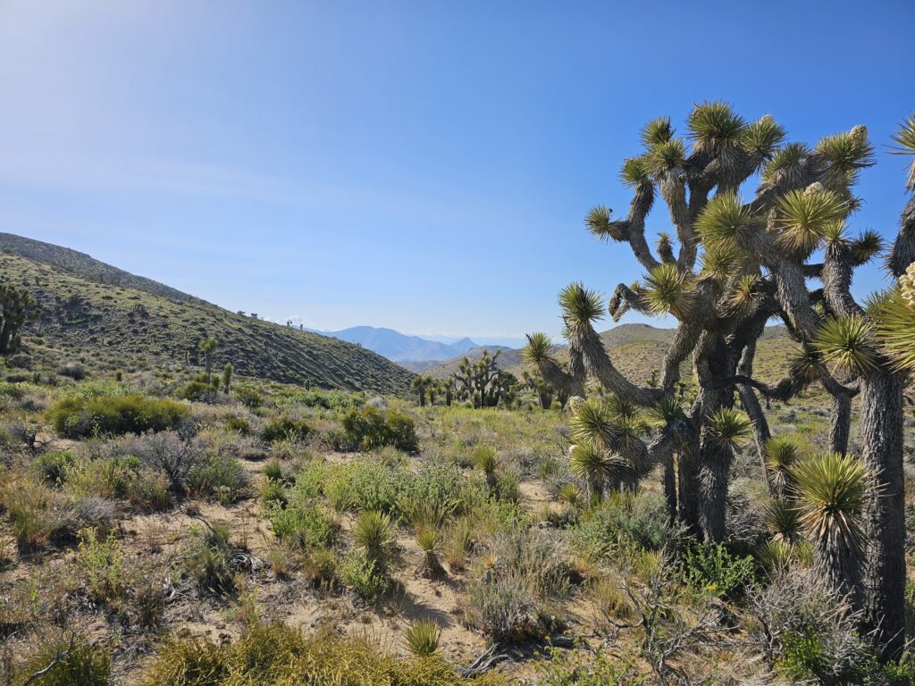
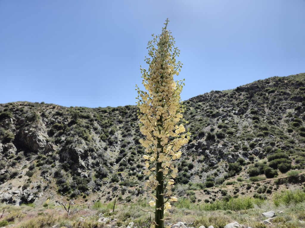
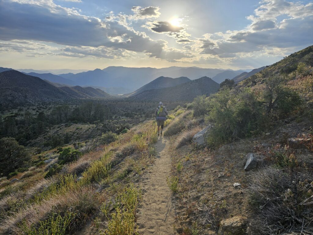
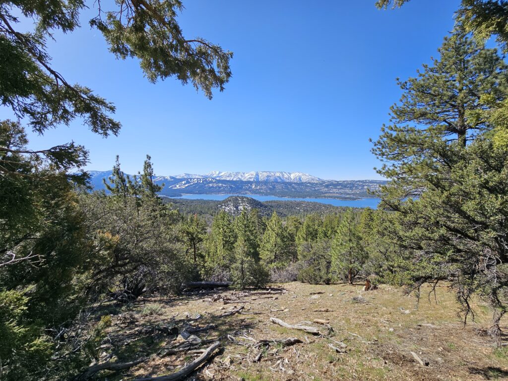
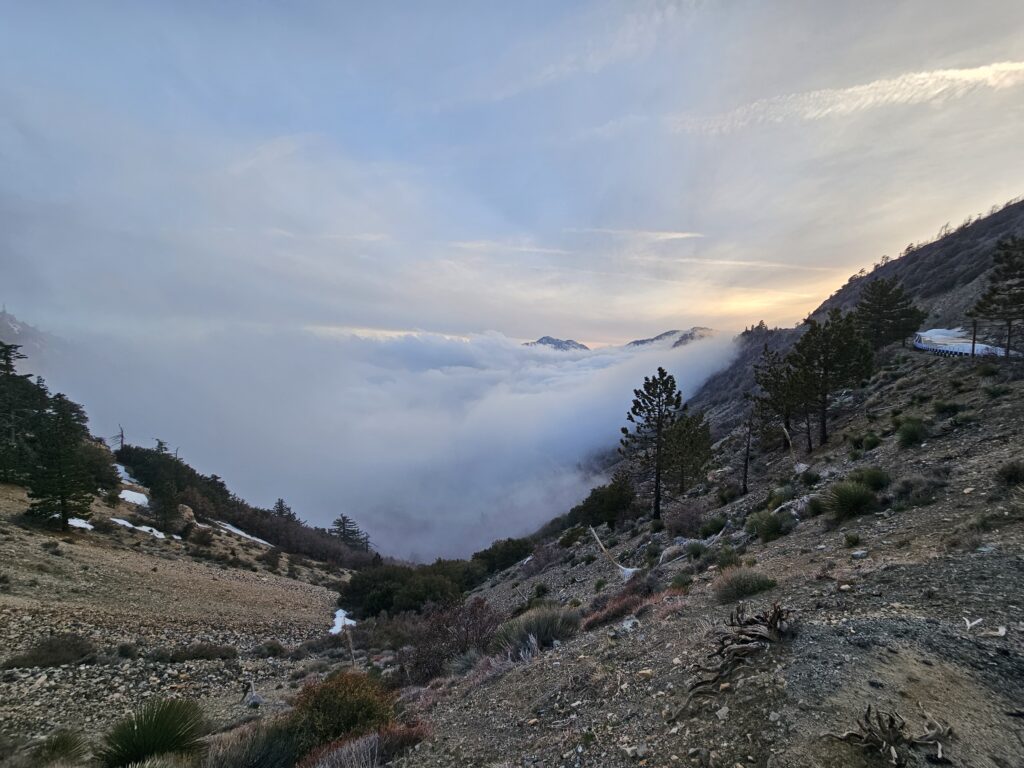
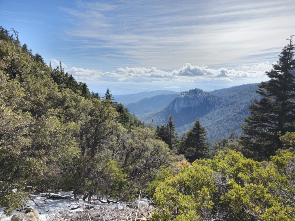
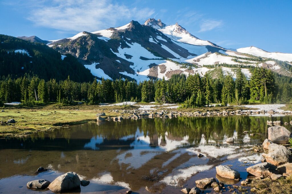
The Pacific Crest Trail (PCT) is a renowned long-distance hiking trail that stretches approximately 2,650 miles (4,265 kilometers) through the western United States, from the southern border with Mexico to the northern border with Canada. Traversing diverse and stunning landscapes, the trail passes through California, Oregon, and Washington, covering deserts, volcanic peaks, dense forests, alpine meadows, and rugged mountain ranges, including the Sierra Nevada and the Cascades.
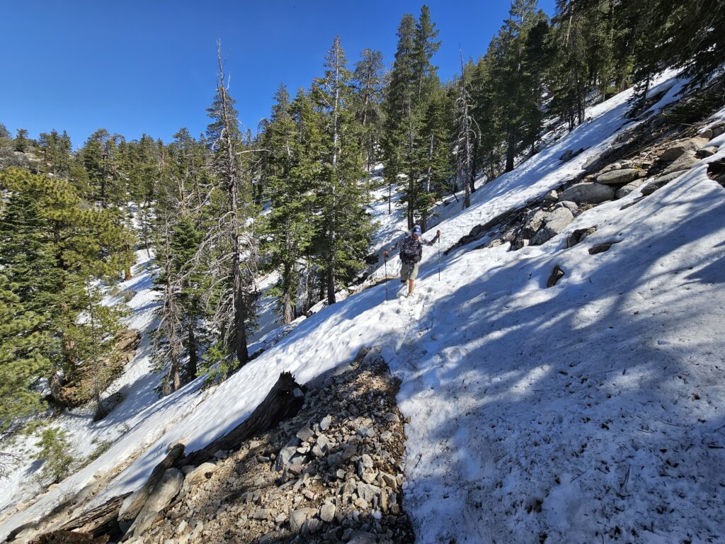
Completed in 1968 and designated a National Scenic Trail, the PCT is a bucket-list adventure for hikers and backpackers worldwide. While some tackle the entire trail as a thru-hike, often taking 4-6 months, others explore it in shorter sections. The trail challenges adventurers with its remote stretches, high elevations, and unpredictable weather but rewards them with unparalleled natural beauty and a deep connection to the wilderness.
The PCT is part of the Triple Crown of Hiking, along with the Appalachian Trail and the Continental Divide Trail, making it a cornerstone of American outdoor adventure.
Preparations
1. Understand the Commitment
A thru-hike of the PCT typically takes 4-6 months, depending on your pace and the time you dedicate to rest and recovery. Be prepared to cover 15-30 miles daily and to live out of your backpack for the duration. Familiarize yourself with trail regulations and permits, including the PCT Long-Distance Permit and additional permits for specific areas like the John Muir Trail.
2. Gear Up Wisely
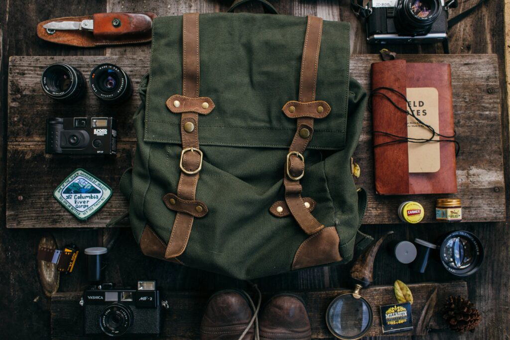
Invest in high-quality, lightweight gear, as every ounce counts. Key items include:
- Backpack: 40-60 liters, adjustable and comfortable for long hauls.
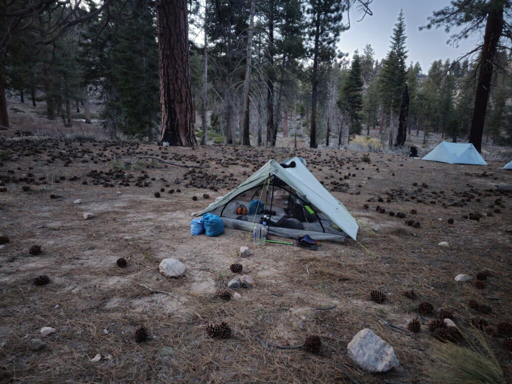
- Shelter: A lightweight tent, tarp, or bivy sack that can withstand varying weather conditions.
- Sleeping System: A down or synthetic sleeping bag rated for 15-30°F and an insulated sleeping pad.
- Clothing: Layered options for diverse climates—moisture-wicking base layers, a warm mid-layer, and a waterproof shell.
- Footwear: Trail runners or lightweight hiking boots, plus camp shoes.
- Cooking: Compact stove, fuel, and a pot, plus a bear canister or hanging bag for food storage.
- Navigation: Maps, compass, GPS app, or device like a Garmin InReach.
Test your gear on shorter hikes to ensure it performs well and fits comfortably.
3. Plan Your Food and Resupply Strategy
Thru-hikers burn thousands of calories daily, requiring nutrient-dense and calorie-rich foods. Options include dehydrated meals, nuts, trail mix, energy bars, and tortillas with peanut butter. Develop a resupply plan:
- Mail Drops: Pre-packaged boxes sent to post offices or trail towns.
- On-the-Go Resupply: Purchasing food in towns along the trail.
Research resupply points and adjust based on trail sections. Carry enough food and water for 3-7 days, depending on the stretch.

4. Train Your Body
Physical preparation reduces the risk of injury and builds endurance. Focus on:
- Cardio: Build stamina through running, cycling, or stair-climbing.
- Hiking Practice: Hike with a fully loaded pack to simulate trail conditions.
- Strength Training: Strengthen your legs, core, and back to handle heavy loads and uneven terrain.
- Flexibility and Balance: Yoga or dynamic stretches can enhance mobility.
5. Mentally Prepare
Long-distance hiking is as much a mental challenge as a physical one. Develop coping strategies for:
- Adversity: Expect tough days – bad weather, blisters, and unexpected challenges are part of the experience.
- Loneliness: Bring a journal, music, or audiobooks, and stay connected with fellow hikers.
- Fatigue: Break the hike into smaller goals to maintain motivation.
6. Research the Trail
Familiarize yourself with the trail’s layout, weather patterns, and potential hazards. Essential resources include:
- Trail Guides: Detailed maps and descriptions.
- Online Forums: Communities like the PCT Association, Reddit, and Facebook groups.
- Apps: Navigation and logging tools like Guthook (now FarOut) for real-time trail updates.
7. Secure Permits and Finances
Permits are required for most thru-hikes. Apply early, as they can be competitive. A thru-hike can cost between $4,000 and $10,000, covering gear, food, permits, and occasional accommodations. Create a budget and set aside an emergency fund.
8. Be Environmentally Responsible
Practice Leave No Trace principles to protect the trail. Pack out all trash, stay on designated paths, and respect wildlife. Use eco-friendly soaps and minimize impact at campsites.
